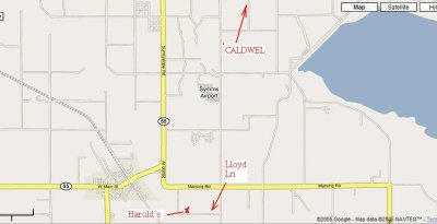
The directions for those coming from the west. When you get to Caldwell, and you get off at exit 27, you'll make a right turn, go about 3/4 mile, then make another right toward Greenleaf (there's a sign). The next turn is Farmway to your left (south). This is tricky because it is not obvious and easily missed. Greenleaf road is 4 lane with a center turn lane. Farmway is about .8 mile down the road toward Greenleaf. There is no stop sign or lights. Look for a yellow diamond sign on your right by the curb indicating a road is intersecting from your left. Under the diamond it says "Farmway". The actual road is a few hundred feet beyond. Watch for a business on your right that says "Propane" on a big yellow sign on the roof, then immediately start looking for the road sign just beyond. Hit your left-hand signal shortly and begin getting ready to turn.
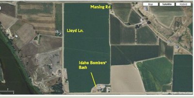
After that it is clear sailing. Go down Farmway about 4 miles (straight) to the next stop. Turn right (west) on state hiway 55. In about 4 miles it will bend left (south). If its still light you'll see Lizard Butte ahead a few miles down the road. Just past the butte is the right-hand bend toward Marsing you'll want to miss - just go straight. There's a stop sign. Go a short distance, the road bends left, then another short distance to the first right (Lloyd Lane). 3rd house on your left.
anothr choice from the west is take hwy 95 which is just inside idaho border near ontario. take hwy 95 south go thru parma, wilder, by homedale, then thru marsing to the east side by lizard butte. past the river turn right on marsing rd. lloyd lane is next right
If you're coming from the east, take exit 35 in Nampa. This we call the sugar factory exit. You'll see it off to your right. Turn right off the exit, go to the factory and turn left (west). Once this road crosses over the freeway and Nampa-Caldwell Blvd (traffic light) it becomes state hiway 55. It's a good 10 miles from there to where the road bends and you see the butte, but it's straight accross the valley to that point.
For those of you into GPS, here's something for you to consider:
Farmway road/Greenleaf road intersection:
N 43* 40' 10.5"
W 116* 42' 43.6"
State hiway 55/Farmway road intersection:
N 43* 36' 15.1"
W 116* 42' 43.7"
Harold's:
N 43* 32' 18.6"
W 116* 47' 00.0"


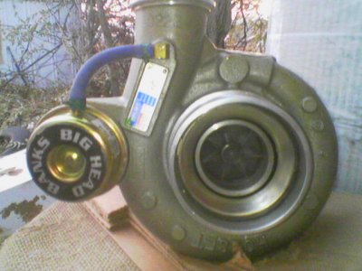
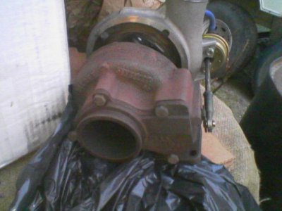
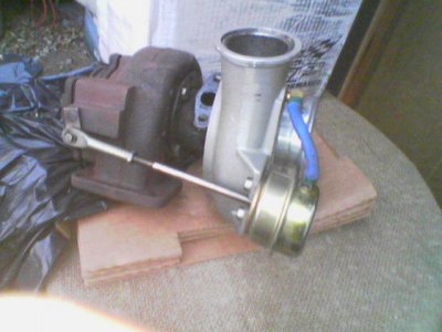
 . I'm looking forward to the Bomb party, that sat was my sat to work but i traded with someone so i could attend. I would not miss taking the TORCH to the 6.0 for anything!!!! Tom, I have to rib ya because all of these guys hacked on me when i was the only ford guy in the Idaho Bombers, no harm intended, all in good fun!!!
 look from the wife. So I'll just be there for the day.